La via dei brentatori
From Bologna to Bazzano along the ancient wine road
From Bologna to Bazzano along the ancient wine road
WARNING
– Piazza Maggiore – S.Luca: unchanged route
– S. Luca- S.Martino di Casalecchio modified route: keep left upon reaching the Bregoli crossroads (the path to the right has collapsed)
– S. Martino- Casalecchio Circolo Tennis modified route: go down to the right, cross the Porrettana, after a short stretch of cycle/pedestrian path on the right you then turn left and go down a flight of steps, cross the canal, follow Via Canale up to the Municipality’s white bridge, then go down to the river to the right of the bridge without crossing it. Follow the bank to the left until you reach the central bridge of Casalecchio. After crossing the bridge, take Via Marconi, turn left before reaching the church, Via della Chiusa, then Via del Lido until you reach the Lido, then right onto Via Genova, and left onto the cycle/pedestrian path of Via Ronzani until you reach the Circolo del Tennis. Here, rejoin the original route with S.Biagio, Parco del Faianello Cimabue, Michelangelo, Tizzano, Carrani, Gessaroli, and Don Fornasari to the Lavino Creek on the right along the Percorso Vita. This area was badly damaged by the flood and is sometimes interrupted by construction site fences but there are still ways to get through. Before reaching the center of Zola Predosa, turn left onto the bridge on Via Respighi until you reach Via Predosa, where you keep left and return to the normal route at Monticino. The rest remains unchanged.
GET READY TO GO!
FOLLOW THE BRENTATORE SYMBOL
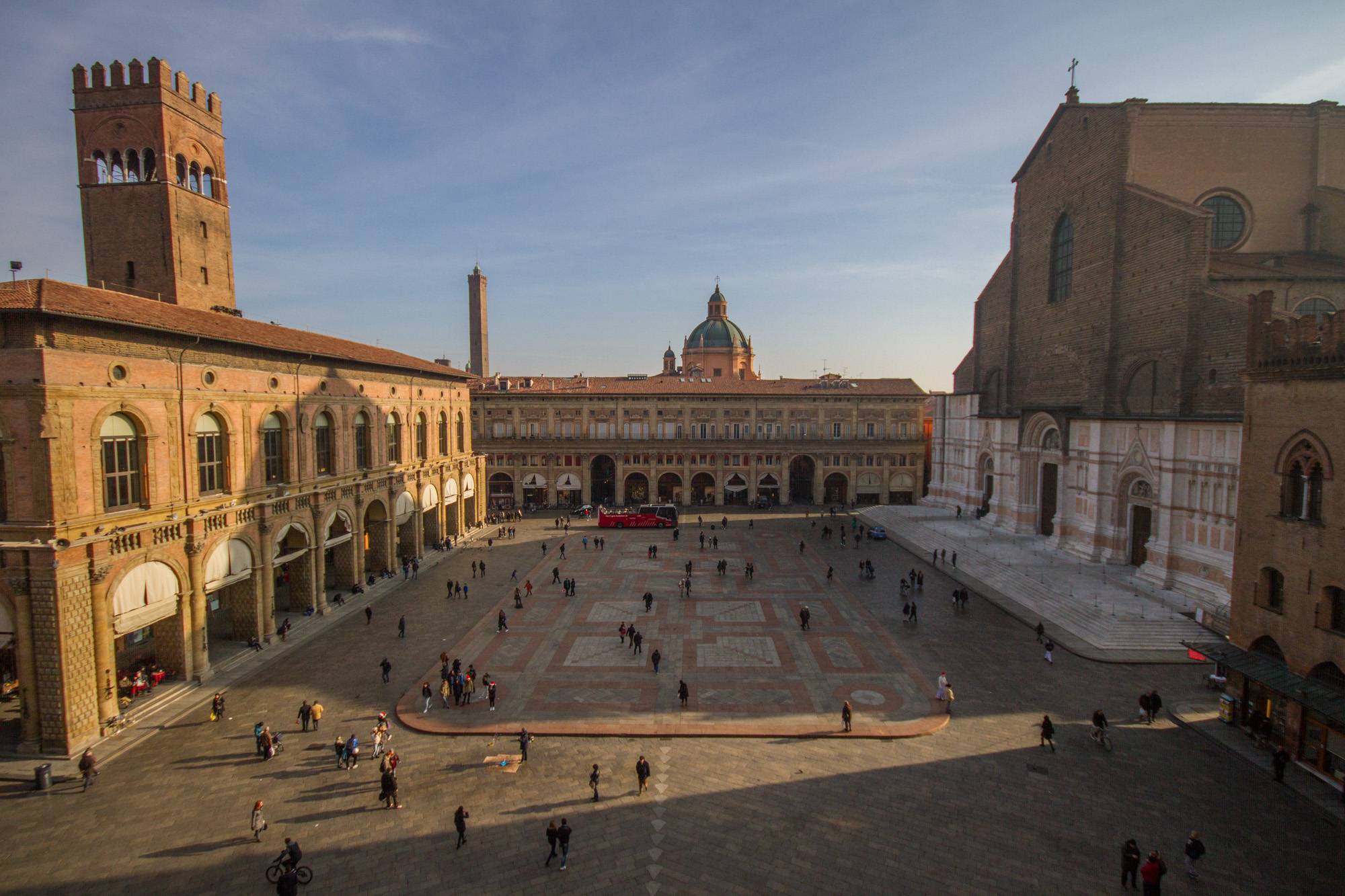
A new route across the Bolognese hills to discover the long journey once made by the Brentatori. About 50 km, from Piazza Maggiore in Bologna to the Rocca in Bazzano, surrounded by stunning nature and numerous historical-artistic sites to admire and rediscover throughout the hike.
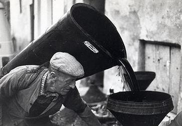
About the trail: The ancient Via dei Brentatori dates back to the 13th century and was created so that the Brentatori workers could safely transport wine, which they carried on their backs in containers known as “Brente”. In the summer of 2024, the route was reopened with an expanded trail, connecting the past and present of this historical guild.
Total Km :approximately 50 km
Elevation gain: 1521m
Sections: 2
Municipalities crossed: Bologna, Casalecchio di Reno, Monte San Pietro, Zola Predosa e Valsamoggia
Starting point: Piazza Maggiore (Bologna)
End point: Rocca dei Bentivoglio (Bazzano)

History of the Brentatori

Sights you simply must see

